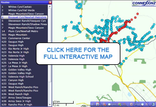
The Transit Information Network (TIN) provides riders with up-to-the-minute information on the current location of their bus via the web, cell phone or electronic bus stop signage installed at key areas throughout the transit system. With the below “Bus Finder” map, passengers can track the location of each GPS-equipped vehicle to accurately identify bus arrival times at any location. The Bus Finder map will not work in browsers that do not support Microsoft Silverlight, such as newer versions of Google Chrome.
To view the “Bus Finder” information and map using your mobile device, download the Santa Clarita Transit Mobile App on iOS and Android phones, or visit m.santa-clarita.com.


